A lot has happened with Tropical Storm Dorian during the past four hours, and we encourage everyone to monitor the weather closely during the next five days. It will be vital if you live in Sebastian or other parts of Florida.
We’re trying our best not to buy into all the “hype” and fear-mongering going on by only reporting the facts from the National Hurricane Center.
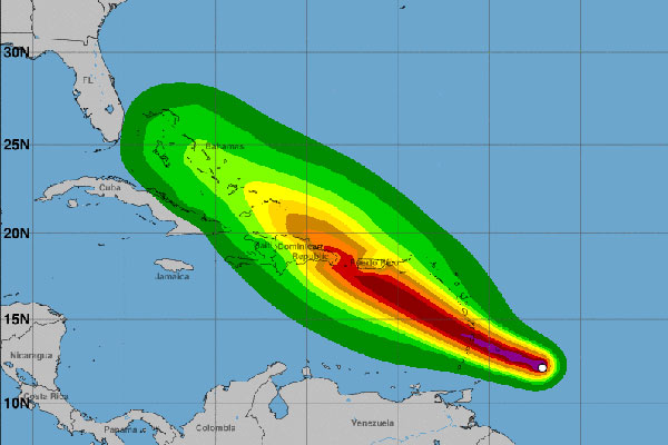
In its previous advisory, the National Weather Center stated that Dorian could slowly dissipate as it moves into the Caribbean Sea due to an increase in sheer and stronger environmental winds shown by models.
“However, until Dorian closes off a solid eyewall, only slow strengthening is likely. Anticipating when an eye will form is challenging, but Dorian could be a hurricane by the time it reaches the Windward Islands,” according to a new statement by the NHC.
“The intensity forecast has been adjusted upward from the previous advisory, but is not as high as the statistical-dynamical SHIPS and LGEM intensity models,” the NHC added.
“Hurricane conditions are also possible in portions of the Windward Islands, and a hurricane watch has been issued for St. Lucia,” NHC said.
As of right now, the NHC predicts that Dorian will drop back down to a tropical storm with 45 mph winds by Friday. Where Dorian goes from there will determine if Florida is going to have a tropical storm or hurricane. We will keep you posted.
We also expect these advisories to change again today and tomorrow. No one knows what this storm is going to do, and it’s been difficult to forecast.
The storm, which formed last Saturday morning, is still moving west at approximately 16 mph with maximum sustained winds of 60 mph.
Please stay tuned for more updates.