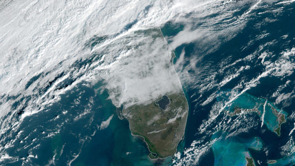
We’ve had a great week for weather, but a cold front is moving through today, bringing showers and cooler temperatures to Sebastian, Florida.
Winds will be 15 to 20 mph on Friday, with gusts as high as 30 mph. The forecast shows a daytime high of only 72 for Saturday, and most showers will be on Sunday.
There’s a 50 percent chance of rain on Friday night and 70 percent on Sunday. The rain will clear out by Monday.
Here are the daily temperatures (Highs/Lows):
- Friday – 80/60
- Saturday – 72/63
- Sunday – 76/62
- Monday 76/63
“A few stronger storms will be possible, with the main threats being strong wind gusts to 40 to 50 mph, small hail, frequent lightning strikes, and brief heavy downpours,” the National Weather Service said in a statement.
A moderate risk of rip currents will also exist at the beaches in Sebastian, with gusty north winds around 20 to 25 mph as the cold front passes through.
Boaters
A Gale Warning is in effect through Friday evening, and a Small Craft Advisory is in effect through Saturday evening.
Fast-moving isolated storms will be possible Friday through Sunday as they move toward the east to the northeast up to 35 to 45 knots. A few stronger storms may be capable of producing wind gusts near or in excess of 35 knots as they move across inland lakes and offshore.
Here’s a look at the seas:
- Friday – 4 to 6 feet, increasing to 6 to 8 feet at night.
- Saturday – 7 to 9 feet with occasional seas to 11 feet.
- Sunday – 5 to 7 feet with occasional seas to 9 feet.
Next Forecast
We’ll have another forecast by Sunday to talk about next week. So far, Monday and Tuesday will have mostly sunny skies with a high near 77 degrees.
If you still plan to fish, check out our latest Sebastian Inlet Fishing Report for the latest information.