
A significant cold front is expected to move into Sebastian on Tuesday, likely triggering strong to severe thunderstorms in the area.
A band of severe thunderstorms is expected to pass through quickly, bringing with them a “slight risk” of damaging wind gusts and possible tornadoes.
The afternoon forecast includes a 30% likelihood of showers and thunderstorms after 1 pm. Expect mostly cloudy skies with a high of 81 degrees. It will be windy, with southeast winds at 20 to 25 mph and gusts potentially reaching up to 40 mph.
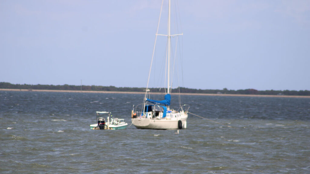
Local waters will be under a Small Craft Advisory from 4 PM due to east-southeast winds of 15 to 25 knots and seas reaching up to 7 feet. This advisory will escalate to a Gale Warning at 10 PM in the offshore waters, anticipating southeast winds of 25 to 35 knots, gusts up to 45 knots, and seas ranging from 7 to 12 feet.
After 4 AM on Tuesday, the Gale Warning will extend to include nearshore waters, indicating sustained winds over 39 mph. Boating conditions in the local Atlantic will be dangerous for small crafts through Tuesday due to these conditions. Although a gradual improvement is expected by Wednesday, another weather system approaching for the weekend could again worsen boating conditions.
Furthermore, the risk of dangerous rip currents remains ongoing, with at least a moderate level expected to persist until mid-week.
Subscribe to our Sebastian Daily YouTube channel to be informed of any additional updates as soon as they are available.

