Starting Monday afternoon, we could see rain every day this week up until the weekend in Sebastian, Florida. While it’s too early to predict Saturday and Sunday, meteorologists are already forecasting rain.
Intense storms will be possible almost every afternoon from the west. The winds are out of the east and usually help break up the showers, but they are only at 5 to 10 mph all week.
“Showers and storms will continue to drift eastward, reaching the coast this evening and making their way offshore overnight,” the National Weather Service said.
However, while observing the radar this morning, we saw storms move into Florida from the west coast and watched them dissipating by the time they reached mid-Florida.
But we need rain right now as environmental conditions are dry.
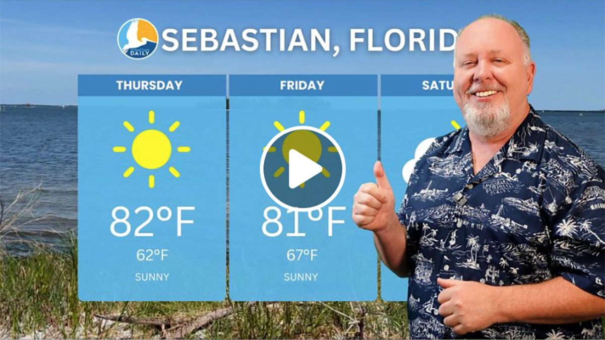
Here’s a look at the daily temperatures (Highs/Lows):
- Monday – 82/65
- Tuesday – 81/66
- Wednesday – 83/66
- Thursday – 84/68
- Friday – 86/68
- Saturday – 88/68
For boaters, seas will be 2 to 3 feet, with occasional seas up to 5 feet and a moderate chop on the Intracoastal waters.
Sebastian Daily will keep you informed of any thunderstorm warnings in our area.